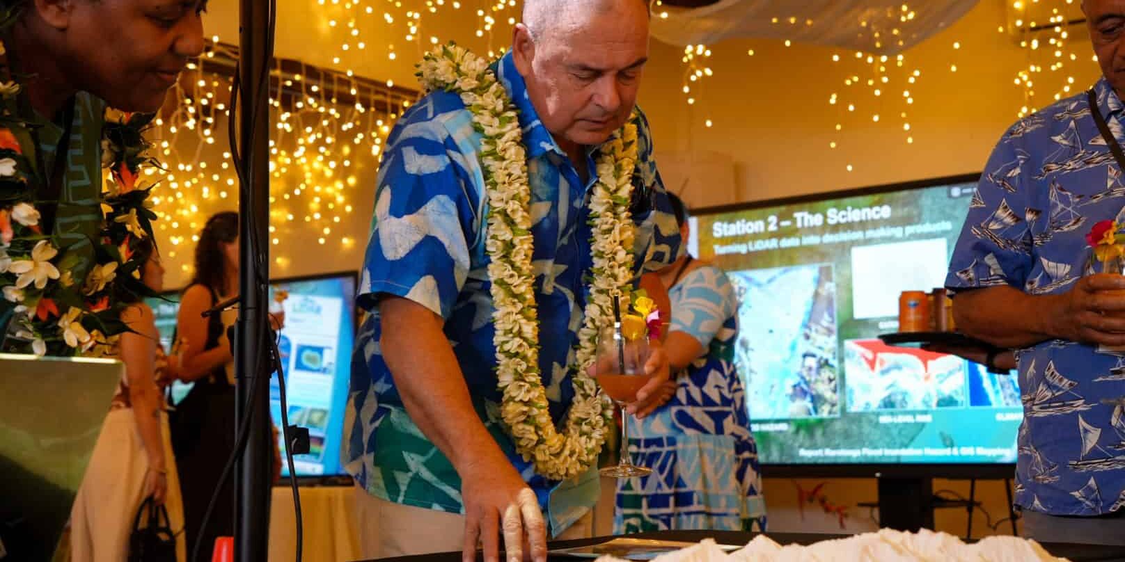
The Government of the Cook Islands has launched the Cook Islands LiDAR Project, giving the country its first precise, three-dimensional measurement of the shape of its land and near-shore environment. The data held and managed here in the Cook Islands provides a new evidence base for decisions on flooding, coastal hazards, infrastructure, land use and climate resilience.
Launched under the theme “Mapping Our Islands, Shaping Our Future,” the project was implemented by Infrastructure Cook Islands (ICI) with support from the Green Climate Fund (GCF), the New Zealand Ministry of Foreign Affairs and Trade (MFAT) and the Cook Islands Government, and technical partnership from Earth Science New Zealand.
Delivering the keynote address, the Prime Minister, Hon. Mark Brown, linked the project to the country’s history of navigation and measurement.
“Our ancestors mapped the ocean between our islands. Tonight, we have mapped the islands themselves,” the Prime Minister said. “We now hold a precise measurement of the shape of our land: the ridges, the valleys, the low ground behind the beach, the path that water takes when it rains, and the shallows where the land meets the lagoon. Not an estimate, or a recollection. A measurement.”
The Prime Minister said the data would improve the quality of everyday government decisions “about the path a road should take, where drainage is built, which culvert is the right size, where a community can safely expand, and which assets sit in the path of the next coastal inundation event.”
He also pointed to the value of the data in the Cook Islands’ international advocacy on climate change. “Good data is a form of leverage,” he said. “It is the difference between asking to be believed, and being able to provide an evidentiary base that cannot be ignored. What we launch tonight moves our argument from assertion to evidence, and evidence is what unlocks finance.”
The Prime Minister noted that the project was deliberately designed so that Cook Islanders were trained to use the technology and the data is held on a national platform under local management, retaining expertise and information in-country long after the project closes. He described the launch as “a foundation, not a finished product,” and said its value would depend on government agencies putting the data to use in the development of advice they provide to Cabinet.
What the project delivers
LiDAR (Light Detection and Ranging) uses laser pulses from an aircraft to measure the shape and elevation of land and the near-shore seabed in fine detail. The project has produced:
- High-resolution elevation data, including digital elevation and digital surface models, imagery and topobathymetry;
- Flood-catchment hazard mapping across different rainfall and flood magnitudes, including climate-change scenarios and flood risk to infrastructure and key assets;
- Coastal and tidal inundation mapping and future sea-level-rise scenarios, identifying coastal-risk areas, vulnerable infrastructure and low-lying development areas;
- GIS training and a training toolkit, with trained practitioners now working in Cook Islands government agencies; and
- The CookGeo Portal: the national platform through which agencies, technical teams and partners can access and apply the data.
The information supports a wide range of government work, from road, drainage and infrastructure planning to disaster preparedness and response, environmental management, and coastal and climate-adaptation planning.
A regional and national contribution
The project contributes to the 2050 Strategy for the Blue Pacific Continent and complements regional efforts such as Digital Earth Pacific: where regional, satellite-based products provide the broad signal of change, the national LiDAR data provides the local detail needed to act on it. Domestically, it supports Te Ara Akapapa’anga Nui, the National Sustainable Development Agenda across infrastructure, water, environment and climate-resilience goals.
The Government acknowledged the Green Climate Fund and New Zealand for their support, and Infrastructure Cook Islands, Earth Science New Zealand, the Office of the Prime Minister, Climate Change Cook Islands and all project partners for their work in delivering the programme.