Tongareva welcomes Prime Minister and partners as wharf project moves forward
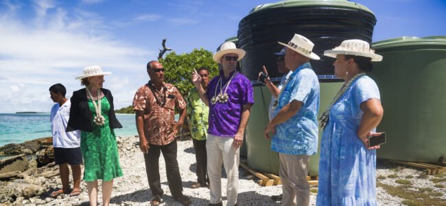
Prime Minister Hon. Mark Brown has returned from Tongareva, where he led a visit to the island on 22 September with the United States Ambassador to the Cook Islands, His Excellency Jared Novelly, and the New Zealand High Commissioner to the Cook Islands, Her Excellency Catherine Graham, to meet the community face to face and…